
New drone technology locates Aboriginal heritage in rugged bushland
14 October 2026 Sydney: Researchers from the Vere Gordon Childe Centre at the University of Sydney and the Australian Museum have identified three previously unregistered Aboriginal rock shelters in the Blue Mountains using drone-based LiDAR technology.
Working alongside the Dharug Custodian Aboriginal Corporation (DCAC), researchers used drones to scan the Blue Mountains from the air, identifying potential rock shelters that would have been difficult and time-consuming to find on foot.
LiDAR (Light, Detection and Ranging) uses laser pulses to create detailed 3D maps of the landscape, helping researchers detect features hidden beneath dense bushland and tree cover. The newly recorded shelters contain visually striking rock art, including red hand stencils, as well as stone artefacts.
The team says the approach could help Aboriginal communities, archaeologists and heritage managers locate and protect cultural sites more efficiently across Australia.
The research was published in the journal Remote Sensing, today.
Walking side by side
The work forms part of the Gulamada Project, which is built on the principle of walking side by side, bringing together scientific knowledge and First Nations cultural knowledge to better understand and care for Country.
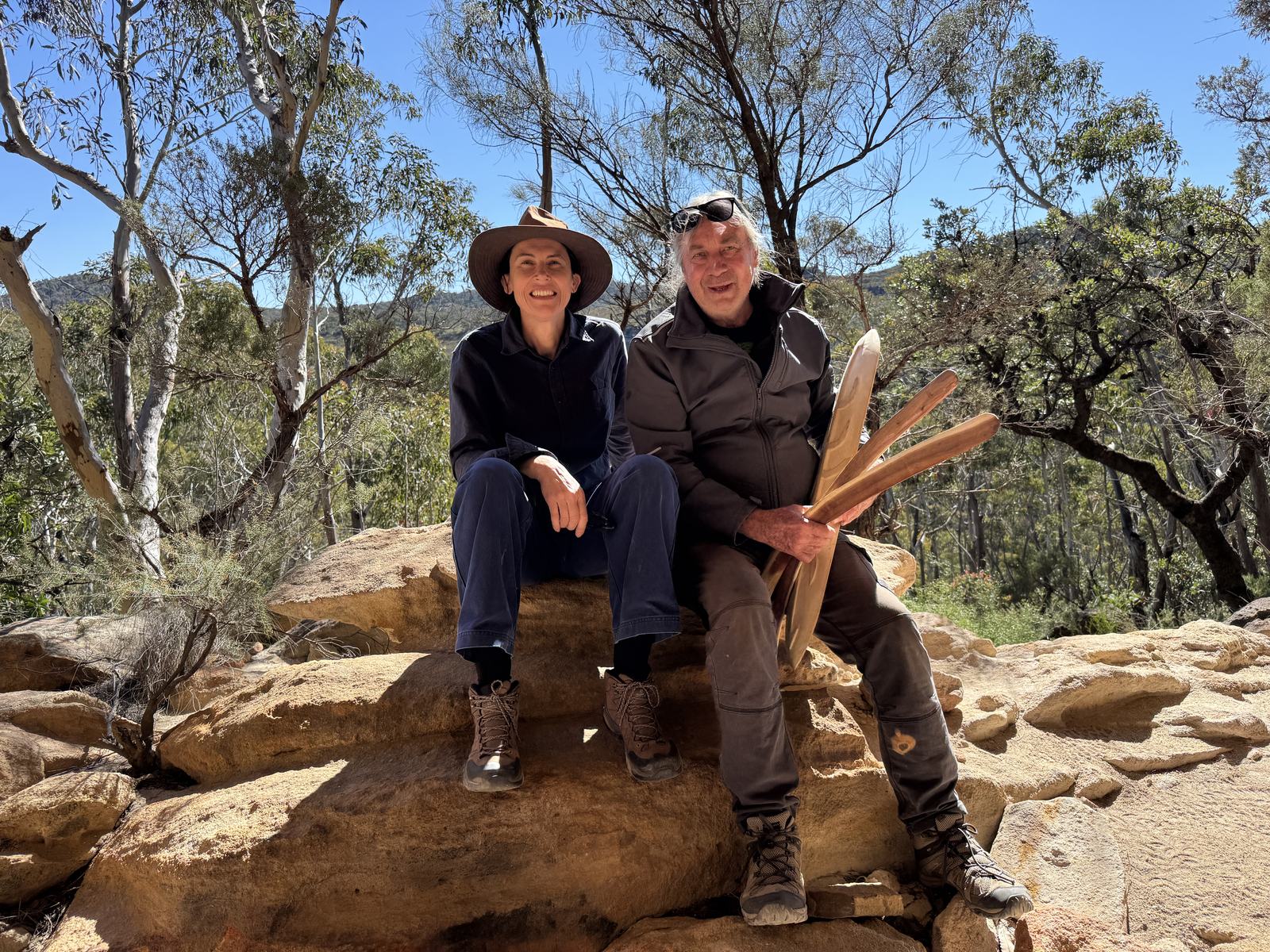
“From the outset, our vision for the Gulamada Project has been to create a true nexus of science and culture. This work highlights the importance of listening, learning and working together,” said project co-director, and Indigenous rock art expert, Wayne Brennan, at the University of Sydney.
© University of Sydney
The Gulamada Project received $248,610 from Round 1 of the Australian Government’s First Nations Heritage Grants program, managed by the Department of Climate Change, Energy, the Environment and Water (DCCEEW). This program provides funding for on-Country projects led by First Nations people to help identify, record and protect First Nations heritage in existing World and National Heritage-listed places.
Susan Templeman, the Federal Member for Macquarie, which includes the Blue Mountains said: “This project demonstrates the power of bringing together First Nations knowledge and new technology to better understand and protect Australia’s rich cultural heritage. I’m proud that the Australian Government’s First Nations Heritage Grants program is supporting important projects like Gulamada here in the Blue Mountains, already renowned for the extraordinary natural and cultural significance within our rugged landscapes.”
The drone-based field surveys confirmed the locations of six registered rock shelters and three previously unregistered shelters containing rock art and stone artefacts. The work also produced much more accurate geographic coordinates than those listed in the official NSW sites register – the Aboriginal Heritage Information Management System (AHIMS).
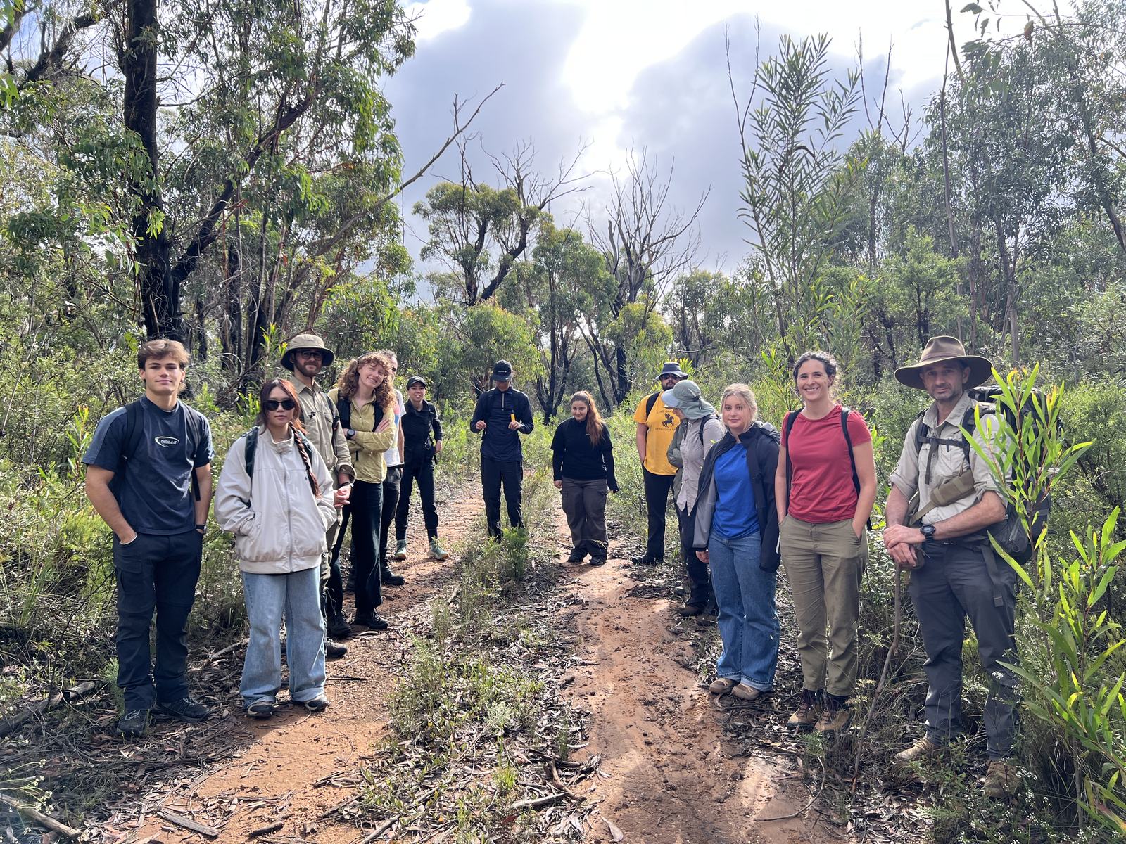
After the drone surveys identified potential rock shelter sites, project co-director Dr Amy Mosig Way, a research archaeologist at the University of Sydney and the Australian Museum, led teams of students and volunteers into the field to verify the locations and assess whether the shelters contained cultural material.
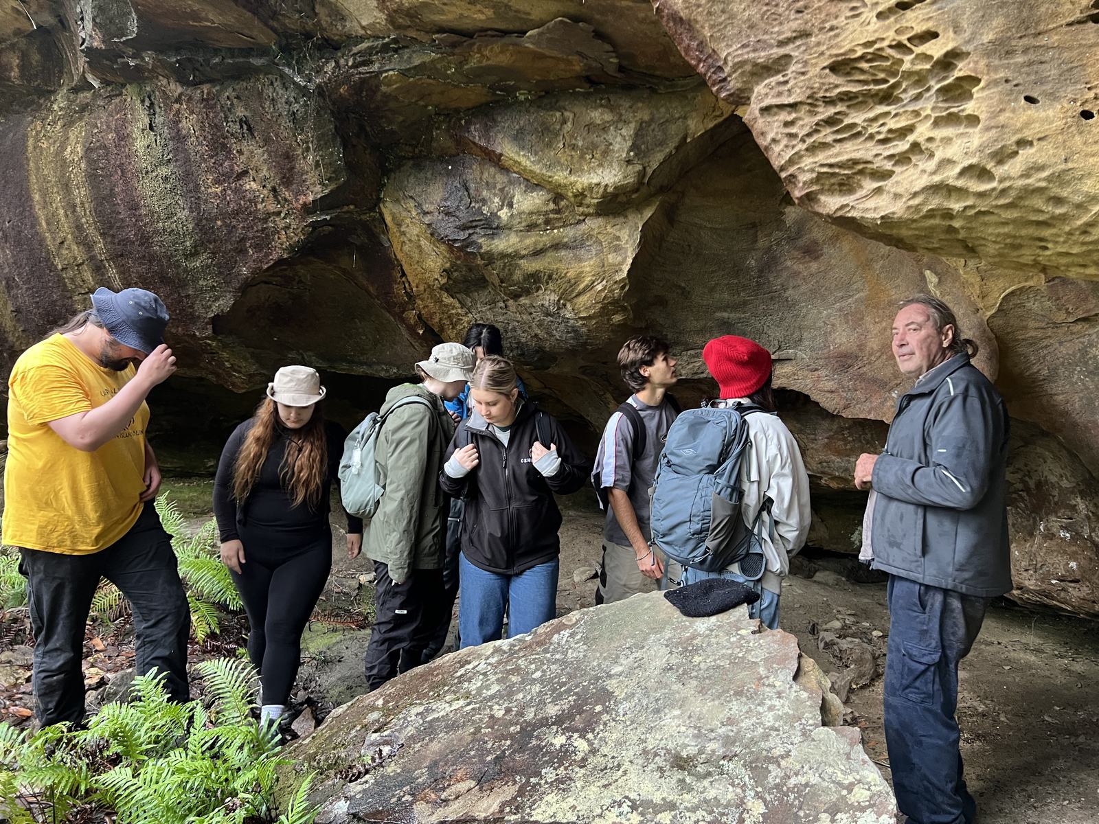
Wayne Brennan and Erin Wilkins (Dharug Custodian Aboriginal Corporation) then led the rock art recording at confirmed sites.
“One of the most rewarding aspects of the Gulamada Project has been creating opportunities for students to gain hands-on experience in cultural heritage research in a community-centred project,” Dr Way said.
© University of Sydney
Rock shelters in the Blue Mountains
More than 200 rock shelters containing cultural and archaeological evidence have been recorded in the Blue Mountains. Yet, according to Dr Way, only an estimated 10 percent of the region has been surveyed because of its rugged and difficult terrain.
The new methodology enables Aboriginal communities, archaeologists and heritage managers to search vast areas of challenging landscape much faster than traditional ground surveys.
“This work is exciting because it offers an efficient and accurate way to locate sites in rugged environments, which are notoriously arduous, expensive and time-consuming to survey,” said Dr Jacob Bongers, lead author on the drone research and a digital archaeologist at the University of Sydney. Dr Bongers is also a former AMF/AMRI Visiting Research Fellow at the Australian Museum.
“Importantly, our methodology is helping expand the record of Aboriginal cultural sites in the Blue Mountains and has the potential to be applied in other regions,” Dr Bongers said.
Protecting sacred sites
While identifying previously unregistered rock shelters is significant, the broader impact may be the ability to find and safeguard many more cultural sites across Australia using a faster and more targeted approach.
The technology provides Aboriginal communities with another tool to use alongside existing knowledge and cultural practices to locate, document and protect important heritage sites before they are affected by development, erosion, bushfires or other threats.
© University of Sydney
Further research
These promising results lay the groundwork for further LiDAR-assisted surveys across Australia in partnership with Aboriginal communities.
The research team plans to work with Aboriginal communities to test and adapt the approach in different environments, including the tropical savannahs of western Arnhem Land and the semi-arid landscapes of western NSW.
Ultimately, the methodology could become more than a tool for locating archaeological sites. It has the potential to support Aboriginal communities in documenting, managing and safeguarding cultural landscapes for future generations.
Download the media release
Interviews:
- Dr Amy Mosig Way, research archaeologist at the University of Sydney and Australian Museum
- Dr Jacob Bongers, lead author on the drone research and a digital archaeologist at the University of Sydney and a former AMF/AMRI Visiting Research Fellow at the Australian Museum.
- Wayne Brennan, Gomeroi knowledge holder, rock art specialist and First Nations mentor in archaeology at the University of Sydney
Media enquiries
Elissa Blake +61 0408 565 604 | elissa.blake@sydney.edu.au
Outside of work hours, please call 02 8627 0246 (this directs to a mobile number) or email media.office@sydney.edu.au
Research:
- Bongers, Jacob L. et al., LiDAR-assisted survey locates unregistered rock shelters in the Blue Mountains, Australia, Remote Sensing (2026) doi.org/10.3390/rs18203495
Details of paper: The research uses cutting-edge drone LiDAR technology to detect unregistered rock shelters in the Blue Mountains. Importantly, this methodology can improve the accuracy of legacy site coordinates in cultural heritage databases and locate rock shelters in rugged landscapes within and potentially beyond Australia. This provides benefits for local communities, archaeology, and cultural heritage management.
Declaration: The project “The Gulamada Project: Walking side by side: A Nexus of Science and Culture” was funded under the 2023-24 First Nations Heritage Grants program (Department of Climate Change, Energy, the Environment and Water (DCCEEW) - grant no. FNHI000045 ($248,610), awarded to Amy Mosig Way & Wayne Brennan (the University of Sydney) in collaboration with Erin Wilkins (Dharug Custodians Aboriginal Corporation).
About the Australian Museum
The nation’s first museum, the Australian Museum (AM) was founded in 1827 and will mark its 200-year anniversary in 2027. It is internationally recognised as a natural science and culture institution focused on Australia and the Pacific. The AM holds more than 22 million objects and specimens in its collection, the largest in the Southern Hemisphere. It pursues a mission to ignite wonder, inspire debate and drive change. The AM’s vision is to be a leading voice for the richness of life, the Earth and culture in Australia and the Pacific and commits to transforming the conversation around climate change, the environment and wildlife conservation; being a strong advocate for First Nations cultures; and continuing to develop world-leading science through the Australian Museum Research Institute (AMRI). The AM is not only a dynamic source of reliable scientific information on the environmental and social challenges facing our region, but also a trusted site of cultural exchange and learning.
