Many hands make light work
Kate Brandis, along with ANSTO and UNSW, are protecting our wetlands, by X-raying one feather at a time.
Kate Brandis, project leader of the Feather Map of Australia spoke to Australian Museum Science Festival volunteer Clare Watsonabout canoeing through wetlands, X-raying bird feathers – and how anyone can get involved in the brand new citizen science project all about mapping birds!

© Australian Museum
In her fifteen years of field research, Kate Brandis has spent a lot of time waist-deep in flooded wetlands studying waterbirds. Wetlands are ever-changing environments, with many animals coming and going and the water levels rising and falling. Wetlands are noisy places too, Kate says, when thousands of birds flock into our wetlands and waterways after heavy rains.
Wetlands are critical habitats for Australia’s waterbirds. Waterbirds habitually move between wetlands to nest, feed and roost, so bird populations, if they are growing or declining, can be indicative of the health of the whole ecosystem. But our wetlands are under threat from reduced river flows and flooding, drought, climate change and land use changes.
To understand these dynamic environments Kate, who is a joint research fellow at the Australian Nuclear Science and Technology Organisation (ANSTO) and the University of New South Wales (UNSW), and her team are creating the first Feather Map of Australia by using nuclear techniques to track water birds around the country. Feathers collected from various inland wetland sites are scanned at ANSTO first by a high-resolution x-ray machine (ITRAX-XRF) which can identify up to 28 different chemical elements. Feathers grow like our hair and nails, gradually, and elements from a bird’s environment get incorporated into its feathers depending on what the bird has been eating. That information is stored in the feather and becomes an ‘isotopic signature’ of the environment – the feathers no longer change once fully grown. As Kate’s team analyses one feather after another, the information will build a feather map of our wetlands, which will be updated online for people to follow.
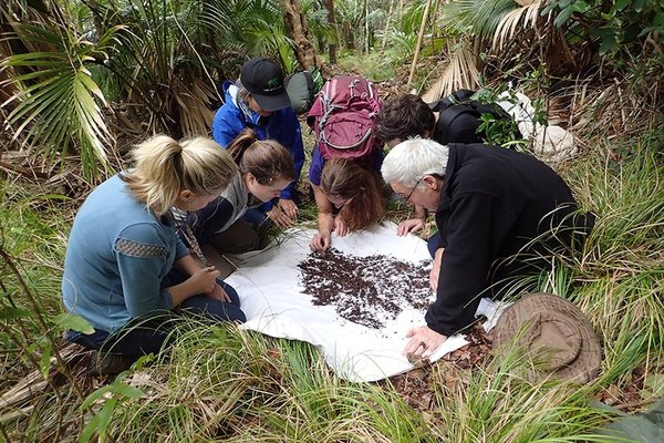
But this research isn’t limited to white-coat scientists. The project stretches the breadth of Australia and calls upon every day citizens – kids, school students and adults alike – to get their hands dirty and help with this high-tech research, which means you can contribute directly to nuclear science.

© Australian Museum
People are invited to take a trip to their local wetland, collect any feathers they find on the ground or in the water and send them in the post to Kate. When collecting feathers, it is important to record the location of where the feather was found. You can also send in photos of sighted birds to help identify the species. Importantly, collecting feathers is a non-invasive method of acquiring specimens – that means you don’t have to handle the birds – and enlisting citizen scientists enhances this research because the field of study becomes Australia-wide.
“We’ve had a huge response to the launch of this citizen science project earlier this year,” Kate says. “We’ve had people in WA collecting feathers, in Tasmania, in Queensland. It’s really encouraging to have so many people participating in our research. There’s been a lot of interest!”
There has also been a lot of interest from school teachers about Kate’s upcoming appearance at the Australian Museum Science Festival (AMSF) in August. As part of the AMSF’s program, high school students will learn about the Feather Map of Australia when Kate shares this research on Tuesday 23, Thursday 25 and Friday 26 August.
Kate is looking forward to the AMSF, “I’m hoping to make it interactive so that the kids can learn more about our feathered friends!”


